Hurricane, typhoon, or cyclone hunters are specialized aircrews that fly directly into tropical storms to collect crucial weather data. In the United States, these missions are primarily carried out by two organizations: the U.S. Air Force Reserve’s 53rd Weather Reconnaissance Squadron and the National Oceanic and Atmospheric Administration (NOAA) Hurricane Hunters. Historically, similar missions have also been conducted by Navy units, other Air Force teams, and NOAA. Internationally, agencies like Hong Kong’s Government Flying Service have also been involved in these critical operations.
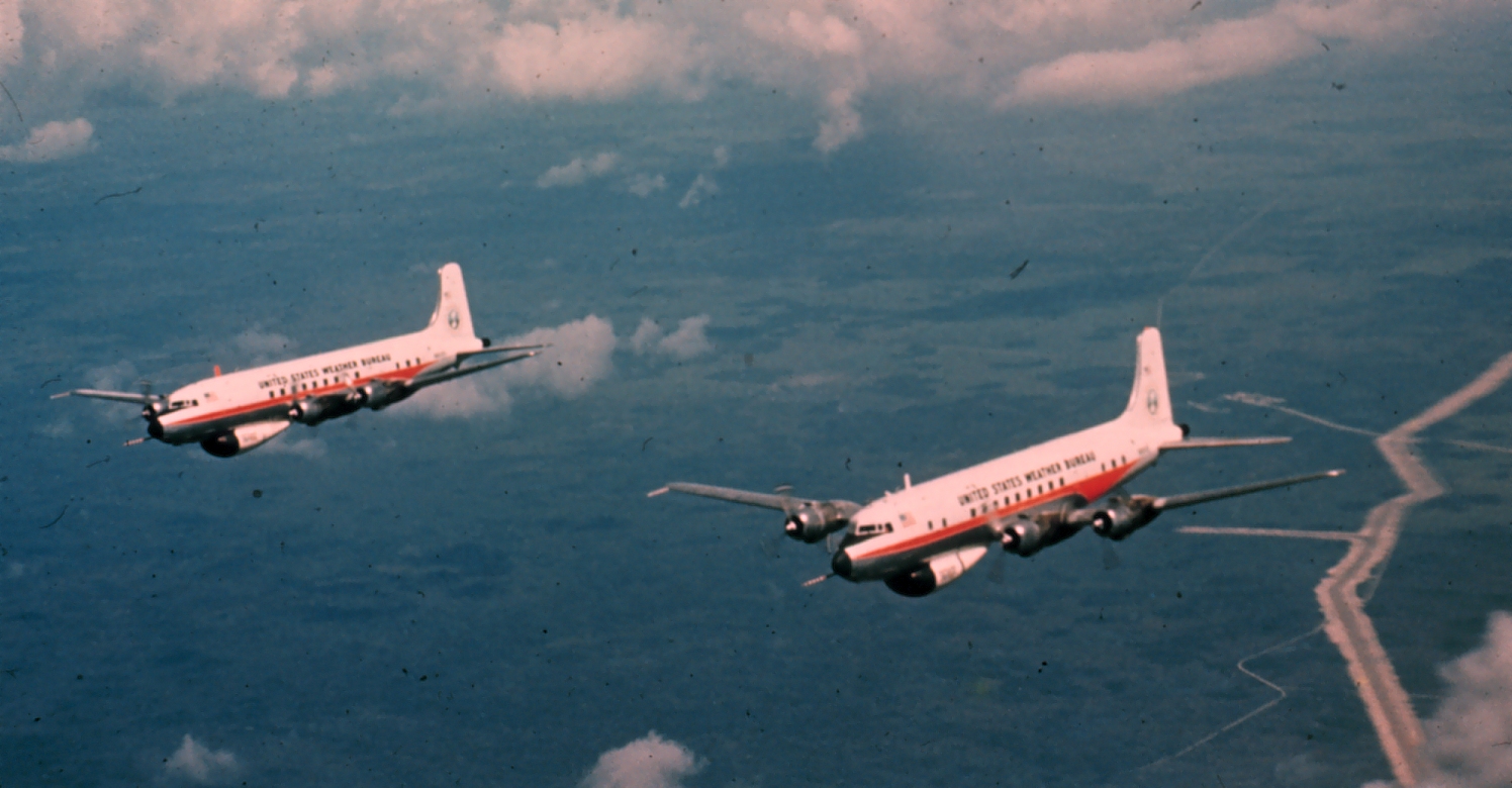
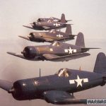
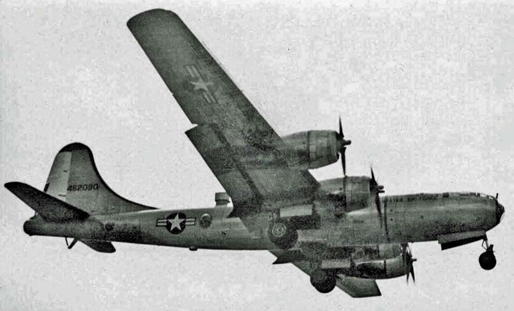
The concept of using aircraft to track hurricanes was first proposed in the early 1930s by Captain W.L. Farnsworth of the Galveston Commercial Association. With support from the United States Weather Bureau, the “storm patrol bill” was passed by both the U.S. Senate and House of Representatives on June 15, 1936. Various aircraft have been used over the years to investigate hurricanes, including a specially equipped Lockheed U-2, which flew into Hurricane Ginny during the 1963 Atlantic hurricane season. Other aircraft involved in hurricane reconnaissance have included the A-20 Havoc in 1944, B-24s from 1944 to 1945, B-17s from 1945 to 1947, B-25s from 1946 to 1947, and B-29s from 1946 to 1947. Later models used for these missions include the WB-29 (1951–1956), WB-50 (1956–1963), WB-47 (1963–1969), WC-121N (1954–1973), and WC-130A, B, E, H (1965–2012).
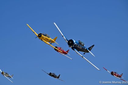
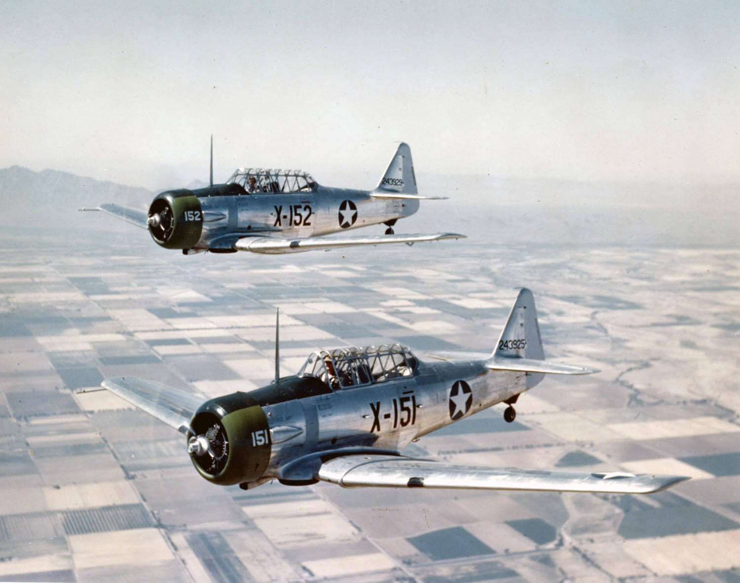
The first reconnaissance flight specifically aimed at locating a hurricane occurred during the 1935 Great Labor Day Hurricane, which would go on to become the most powerful storm ever to strike the United States. However, the first recorded crewed flight into a hurricane occurred in 1943 when Colonel Joseph Duckworth famously flew an AT-6 Texan into a Category 1 storm near Galveston, Texas, reportedly on a dare. This bold move marked the beginning of hurricane reconnaissance flights. Duckworth’s achievement occurred on July 27, 1943, making him the first person to safely fly through a hurricane. However, over the years, six military planes involved in these missions have been lost, resulting in the tragic deaths of fifty-three crew members.
Today NOAA and the USAF’s 53rd Weather Reconnaissance Squadron are the main outfits assigned the mission of flying in “the eye of the storm.”
USAFR 53rd Weather Reconnaissance Squadron
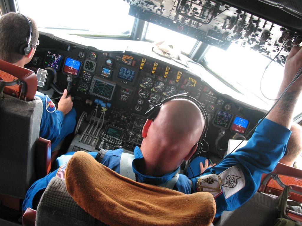
The Air Force Reserve’s 53rd Weather Reconnaissance Squadron, based at Keesler Air Force Base in Biloxi, Mississippi, is the world’s only operational military unit dedicated to weather reconnaissance. Known as the “Hurricane Hunters” since 1946, their missions primarily focus on gathering critical weather data by flying directly into tropical storms and hurricanes. Most flights originate from Keesler AFB, covering areas from the mid-Atlantic to the Hawaiian Islands. The squadron has also conducted reconnaissance into Pacific typhoons and severe winter storms. The 53rd WRS operates a fleet of ten Lockheed WC-130J aircraft, designed to fly through the most intense parts of hurricanes. These planes typically penetrate the storm’s eye multiple times per mission, flying at altitudes ranging from 500 to 10,000 feet (150 to 3,000 meters) to collect vital data on storm intensity and structure.
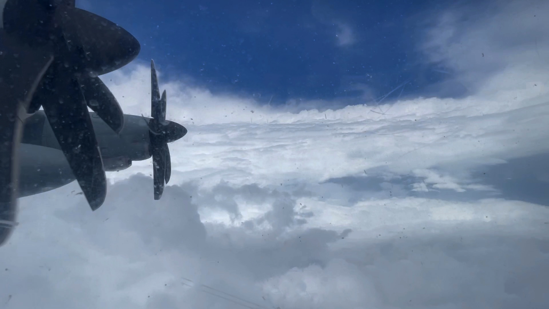
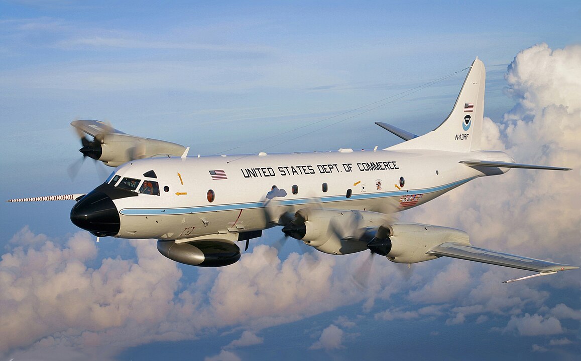
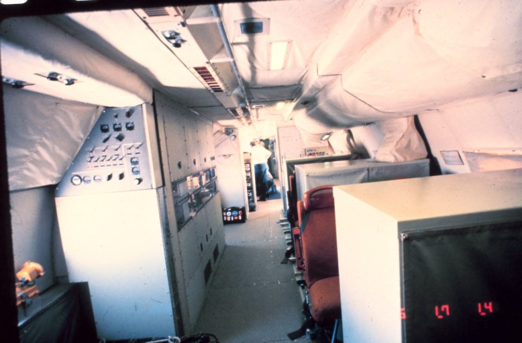
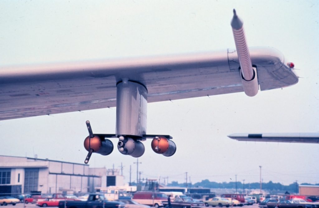
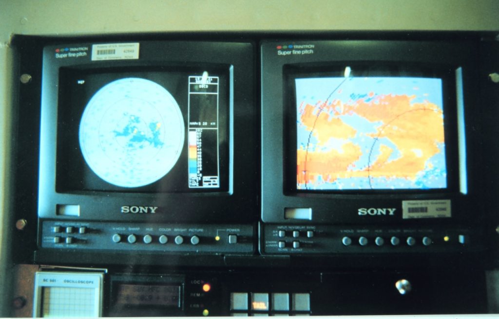
NOAA’s Hurricane Hunters, composed of civilian and NOAA Corps crews, focus on surveillance, research, and reconnaissance missions. Initially stationed at MacDill Air Force Base in Tampa, Florida, they relocated to a new facility at Lakeland Linder International Airport in June 2017 after being based at MacDill since 1993. NOAA operates two heavily modified Lockheed WP-3D Orion aircraft, which are flying laboratories equipped with advanced instrumentation, including airborne Doppler radar. These planes are used to measure atmospheric conditions and radar data within both tropical cyclones and winter storms. NOAA also utilizes a high-altitude Gulfstream IV (G-IV) jet, which flies above 41,000 feet (12 km) to collect data on upper and lower-level winds that influence storm movement. The G-IV’s dropsonde data is crucial for the computer models used to predict hurricane tracks and intensity, providing real-time insights to improve storm forecasts.
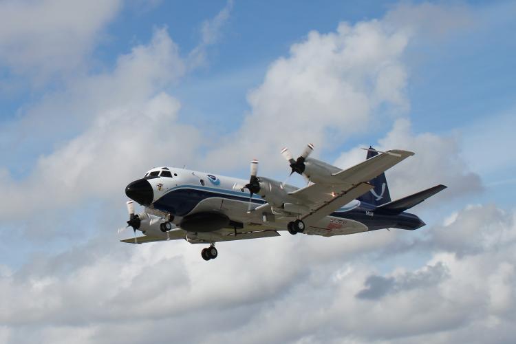
In the 1960s, the introduction of satellite technology led the U.S. military to scale back on manned weather reconnaissance missions. However, NOAA’s Hurricane Research Center advocated for their continuation, emphasizing that while satellites could detect storms, they were unable to measure critical data like barometric pressure and wind speeds—information that remains vital for accurate storm forecasting. Before the advent of weather satellites, military aircraft were essential in detecting and tracking tropical cyclones. They flew regular reconnaissance missions to monitor developing weather systems. While satellites today are instrumental in identifying cyclones early, aircraft remain the only reliable way to measure a storm’s interior barometric pressure and accurately gauge wind speeds. This data is vital for predicting the storm’s intensity, path, and potential impact. The howling winds, blinding rain, and violent updrafts of a hurricane are terrifying on the ground but imagine flying directly into the heart of the storm. This is the mission of Hurricane Hunters, who pilot specially-equipped aircraft into developing hurricanes to gather critical, life-saving data. These crews risk their lives to track dangerous storms, providing invaluable information that helps protect lives and property in hurricane-prone areas.
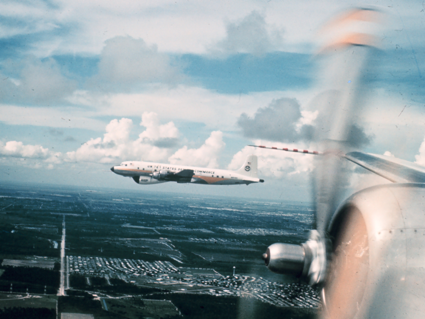
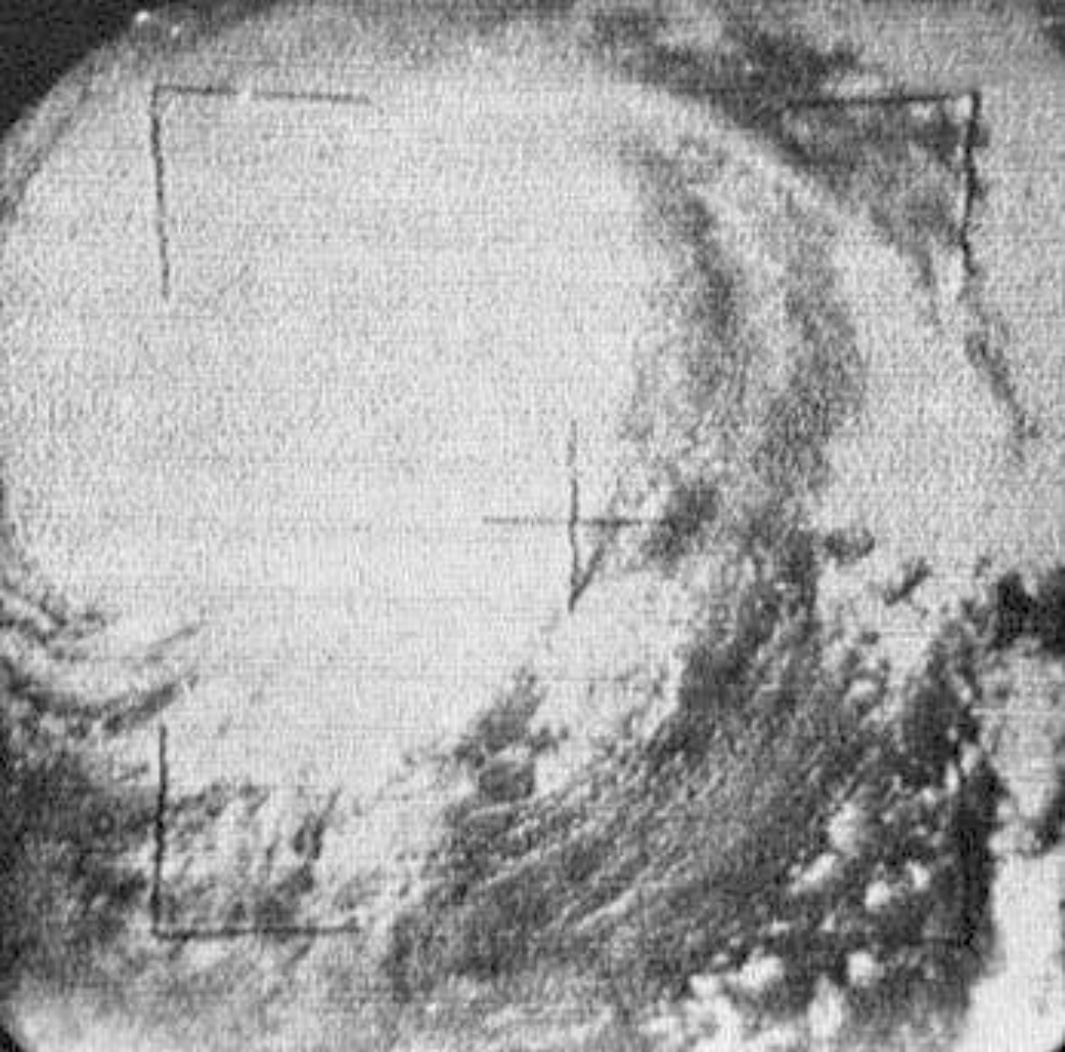
One of the most historically significant storms for Hurricane Hunters was Hurricane Carla, which made landfall on the eastern coast of Texas on September 11, 1961. Known as one of the most intense and damaging hurricanes to ever hit Texas, Carla was also the first tropical cyclone to have its entire life cycle documented by research flights. As the storm evolved from a tropical depression into a full-blown hurricane, Weather Bureau aircraft conducted investigative missions, monitoring its growth and tracking atmospheric conditions.
Fast forward to today, and NOAA’s Hurricane Hunter aircraft are outfitted with cutting-edge technology far more advanced than the 1960s and 1970s. Their fleet, including the two Lockheed WP-3D Orions, is equipped with high-precision temperature, pressure, humidity, and wind sensors. These sensors, along with dual radar systems, provide a real-time view of a storm, scanning vertically and horizontally to give scientists a comprehensive understanding of a hurricane’s structure. Additionally, bathythermograph probes measure sea surface temperature, offering insights into how ocean conditions affect storm development.
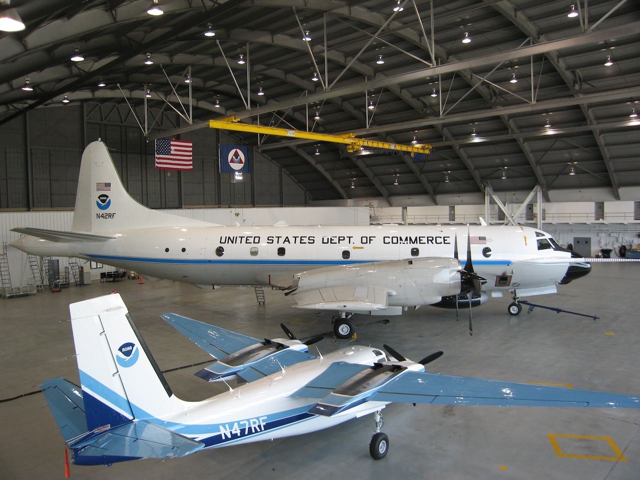
When the National Hurricane Center needs real-time data, these specialized aircraft are dispatched from NOAA’s Aircraft Operations Center in Lakeland, Florida. The planes are tasked with locating the storm’s center, measuring central pressure, and gauging surface winds around the eye. NOAA’s Gulfstream IV-SP jet also plays a crucial role, flying at high altitudes around the storm to collect data on the winds and weather systems in the upper atmosphere, which help steer and influence hurricanes.
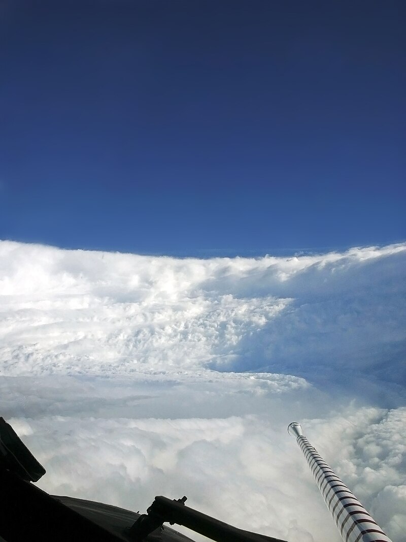
The data collected by these flights is essential for improving the accuracy of hurricane forecasts. By understanding the behavior of hurricanes in greater detail, meteorologists can better predict storm paths, intensities, and potential impacts. This, in turn, ensures that residents along the vulnerable Atlantic and Gulf coasts, as well as the Hawaiian Islands, can better prepare for and protect themselves from these natural disasters. Since their inception, NOAA’s Hurricane Hunters have significantly advanced meteorological science. The early flights in the 1960s provided the first real insights into hurricane behavior, laying the groundwork for future discoveries. As technology progressed, so did the Hurricane Hunters’ capabilities. In 1976, the addition of Doppler radar technology gave scientists their first 3D views of wind patterns within hurricanes, further enhancing our understanding of these massive storms.
Thanks to the bravery and dedication of NOAA’s Hurricane Hunters, meteorologists today have more tools than ever to track and understand hurricanes. Their work continues to improve forecasts and safety measures, helping communities stay safe in the face of these powerful storms.


